KARNATAKA AT A GLANCE
Department Of Economics and Statistics

Department Of Economics and Statistics

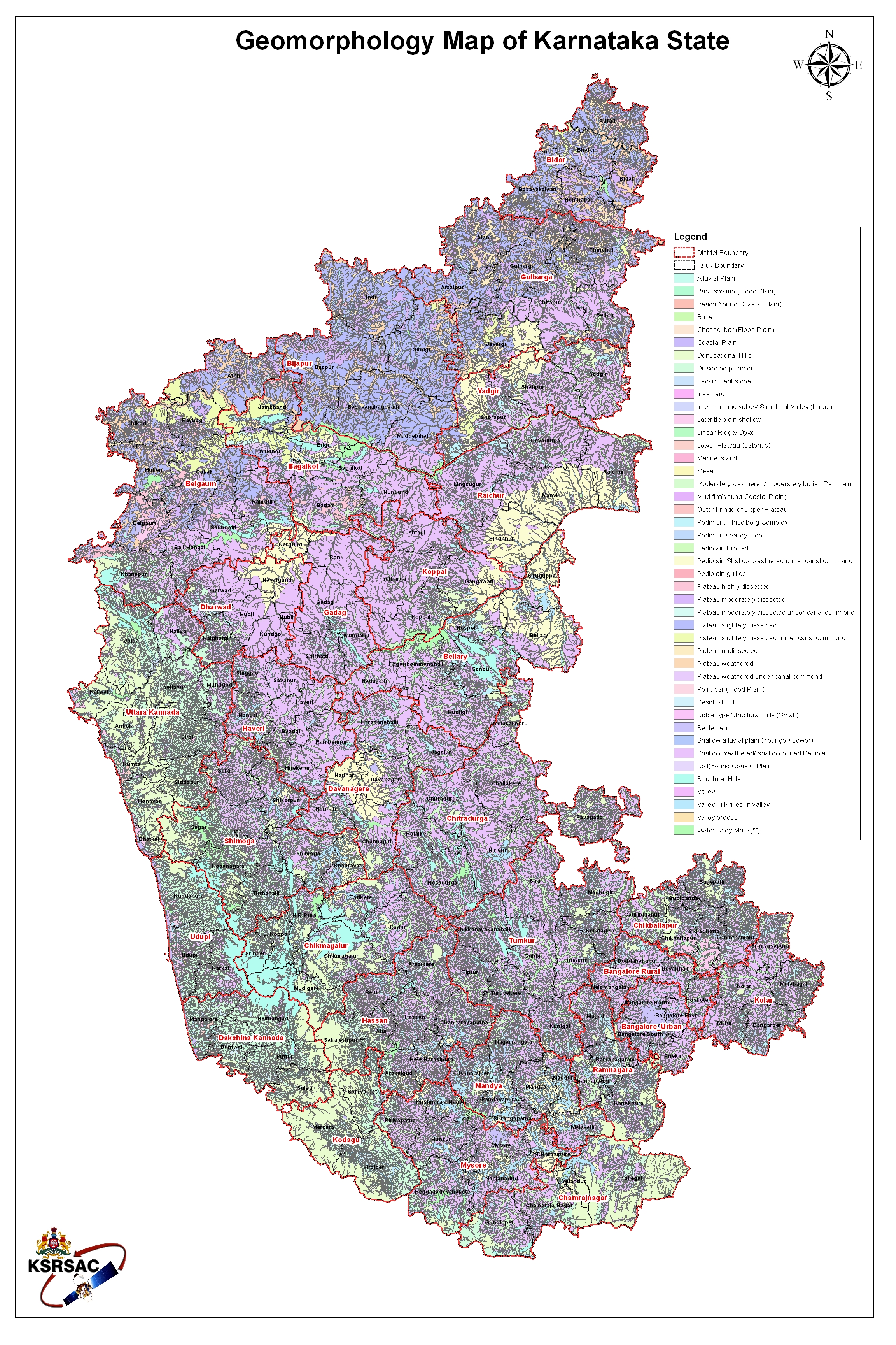
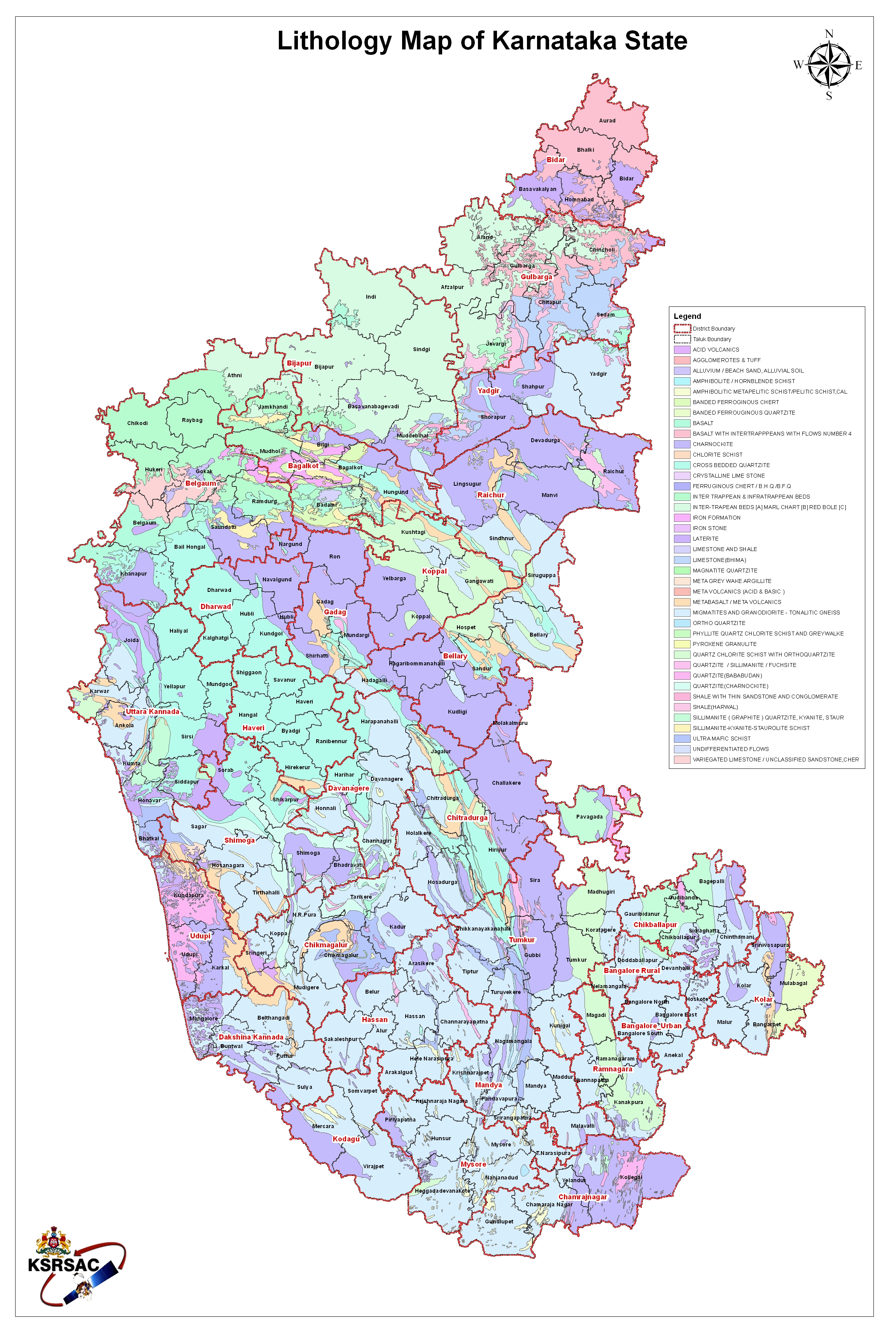
Karnataka at a glance (KAG) contains various departmental statistical information collected from 31 districts. Department related statistical information is published under 20 titles. The statistical information of KAG is now visualised in the form of spatial maps.This information is available for preparing decentralized plans by planners, policymakers, researchers and public.
Departments
Parmeters
Derived Indicators
K-GIS Layers
Villages
Panchayats


Spatial Maps of Indicators derived from available cross functional parameters.